Buresø
Buresø is a lake located in a tunnel valley, immediately southeast of Slangerup, where Allerød, Frederikssund and Egedal municipalities meet. The tunnel valley, which was formed during the last ice age, runs in an east-west direction and can be followed along Mølleåen all the way to the Øresund coast. Between Buresø and the nearby Bastrup Sø there is a watershed. Buresø drains via Græse Å to the west to Roskilde Fjord, Bastrup Sø drains to the east to Mølleåen. Buresø and surroundings is part of Naturpark Mølleåen.
| Buresø | |
|---|---|
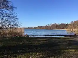 Buresø in 2017 | |
 Buresø | |
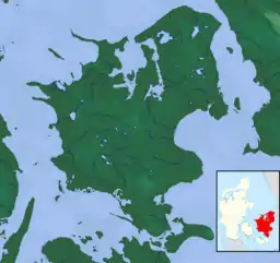
| Location | Zealand |
| Coordinates | 55°49′30″N 12°13′04″E |
| Primary outflows | Græse Å |
| Surface area | 76 ha (190 acres) |
| Average depth | 6.7 km (4.2 mi) |
| Max. depth | 10.8 km (6.7 mi) |
| Settlements | Slangerup |
Nature protection area
Parts of Buresø are located in the Mølleåen Nature Reserve[1] while the north side borders the conservation Kedelsø-Langsødalen Søen is part of Natura 2000 area no. 139 Øvre Mølleådal, Furesø and Frederiksdal Skov.[2]
References
- "Mølleåen - fra Burre Sø til Farum Sø". fredninger.dk (in Danish). 14 September 2019.
- "Natura 2000-planen" (PDF). mst.dk (in Danish).
This article is issued from Wikipedia. The text is licensed under Creative Commons - Attribution - Sharealike. Additional terms may apply for the media files.