Bov Point
Bov Point (Bulgarian: нос Бов, ‘Nos Bov’ \'nos 'bov\) is the ice-covered point on the south side of the entrance to Kayak Bay on the east coast of Brabant Island in the Palmer Archipelago, Antarctica.
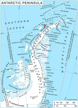
Location of Brabant Island in the Antarctic Peninsula region.
The point is named after the settlement of Bov in Western Bulgaria.
Location
Bov Point is located at 64°17′07.3″S 62°09′14″W, which is 9.36 km southwest of Mitchell Point, 2.7 km west of Hvarchil Point on Lecointe Island, 3.35 km north-northeast of Momino Point, and 2.7 km east-southeast of Podem Peak whose offshoot forms the point. British mapping in 1980 and 2008.
Maps
- Antarctic Digital Database (ADD). Scale 1:250000 topographic map of Antarctica. Scientific Committee on Antarctic Research (SCAR). Since 1993, regularly upgraded and updated.
- British Antarctic Territory. Scale 1:200000 topographic map. DOS 610 Series, Sheet W 64 62. Directorate of Overseas Surveys, Tolworth, UK, 1980.
- Brabant Island to Argentine Islands. Scale 1:250000 topographic map. British Antarctic Survey, 2008.
References
- Bulgarian Antarctic Gazetteer. Antarctic Place-names Commission. (details in Bulgarian, basic data in English)
- Bov Point. SCAR Composite Antarctic Gazetteer.
External links
- Bov Point. Copernix satellite image
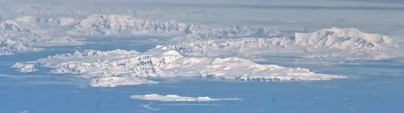
Brabant Island seen from northeast, with Anvers Island (on the right) and Antarctic Peninsula in the background.
This article includes information from the Antarctic Place-names Commission of Bulgaria which is used with permission.
This article is issued from Wikipedia. The text is licensed under Creative Commons - Attribution - Sharealike. Additional terms may apply for the media files.