Bijoynagar
Bijoynagar is a town in the Kamrup district. It is on the south bank of the river Brahmaputra.[1] [2]
Bijoynagar | |
|---|---|
Town | |
| Nickname: Nogor | |
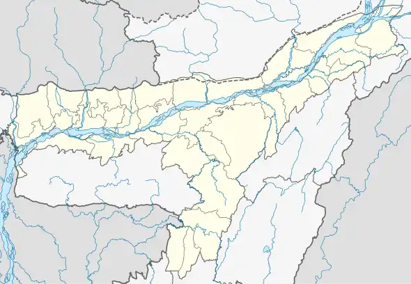 Bijoynagar Location in Assam, India 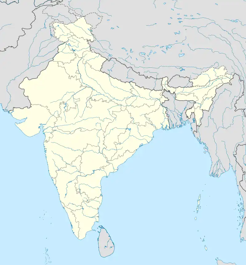 Bijoynagar Bijoynagar (India) | |
| Coordinates: 26.1014°N 91.5059°E | |
| Country | Guwahati |
| State | Assam |
| District | Kamrup |
| Government | |
| • Type | Municipality corporation Guwahati |
| Population (59% Hindus, 39.45% Muslim, 1.55% Jain) | |
| • Total | 100,000 |
| Languages | |
| • Official | Assamese
Unofficial Marwari, Bhojpuri, Hindi, Urdu |
| Time zone | UTC+5:30 (IST) |
| PIN | 781122 |
| Vehicle registration | AS |
| Website | kamrup |
Transport
Bijoynagar is located on National Highway 17 and is well together with Guwahati and other nearby towns with both government and private commercial vehicles.
Religion
Education
- Amrit Chandra Thakuria Commerce College
- Haligaon High Madrasa School
- Uparhali Higher Secondary School
- Sarpara Gangapukhuri LP School
- Sarpara Girl's High School
- Sarpara Madrasa High School
- Faculty Public English Medium School
- Benison CBSE School
- Dibyojyoti School
- Assam Jatiya bidyalay School
- Uparhali Girl's High School
- Kidzee school
References
- "Bijoynagar". indiamapia.com. Retrieved 30 December 2012.
- "Bijoynagar PinCode". pincode.org.in. Retrieved 19 August 2015.
This article is issued from Wikipedia. The text is licensed under Creative Commons - Attribution - Sharealike. Additional terms may apply for the media files.