Belarusian Ridge
The Belarusian Ridge (Belarusian: Беларуская града, romanized: Bielaruskaja hrada) is a line of terminal moraines in the northwest of Belarus. The feature is part of the East European Plain.
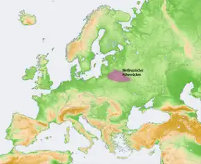
This ridge, consisting of low, rolling hills, runs for about 500 km in the direction from west-southwest to east-northeast, from the area of the Brest region, which is close to the border of Poland to the Russian town of Smolensk.[1]
The geological constitution of the ridge is mostly moraine loams with added glacial and alluvial sediments.[1]
The ridge itself is divided in sections called "uplands." These uplands are created by various river valleys that cut through the entire ridge.
- Ašmiany upland
- Hrodna upland
- Vaukavysk upland
- Shchara valley
- Navahradak upland
- Neman River valley
- Minsk upland
- Berezina valley
- Daugava and Vitsebsk-Nevel uplands
- Dnieper upland
- Orsha upland
- a final group of uplands along the eastern boundary with Russia
The highest elevation of the ridge (and the whole Belarus) is Mount Dzyarzhynskaya, 365m.