Banjaria (community development block)
Banjaria is a community development block in East Champaran District, Bihar, India.[1] The administrative center of the block is the town of Banjaria. In the year 2011, the block has a population of 162,684.[2]
Banjaria | |
|---|---|
 Banjaria  Banjaria | |
| Coordinates: 26°40′08″N 84°54′59″E | |
| Country | |
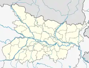
| State | Bihar |
| District | East Champaran |
| Government | |
| • Type | Panchayat Samiti |
| Area | |
| • Total | 138 km2 (53 sq mi) |
| Elevation | 68 m (223 ft) |
| Population (2011) | |
| • Total | 162,684 |
| • Density | 1,200/km2 (3,100/sq mi) |
| Languages | |
| • Official | Maithilo |
| Time zone | UTC+5:30 (IST) |
| PIN | 845401 |
| STD code | 06252 |
| Vehicle registration | BR-05 |
Geography
Banjaria is located on the northern portion of East Champaran District. Its average elecation is 68 metres above the sea level.[3]
Administrative divisions
There are 30 villages under Banjaria Block:[2]
- Ajgari
- Banjaria
- Banjaria (part)
- Bhela Chhapra
- Burhwa
- Chailaha
- Chichurahia
- Chitaha
- Gamharia
- Ghormarwa
- Janerwa
- Jatwa
- Kaparsandi
- Kukurjari
- Loknath Pur
- Pachrukha
- Pakaria
- Patkhaulia
- Phulwar
- Pipra
- Ratanpur
- Rohinia
- Semra Khas
- Semra Tola Bhola
- Semra Tola Hat
- Singhia Sagar
- Singia Hiban
- Siswa
- Sukhi Dih
- Tarkulwa
Demographics
According to 2011 Census of India, there are 32,464 households and 162,684 residents within Banjaria. The male population is 86,088, and female population is 76,596. The total literacy rate is 42.45%, with 49.90% of the male population and 34.08% of the female population being literate.[2]
See also
References
- "Sub-division & Block | An Official Website of East Champaran, Motihari | India". Retrieved 2023-04-20.
- "Basic Population Figures of India, States, Districts, Sub-District and Village, 2011". censusindia.gov.in. Archived from the original on 2023-03-02. Retrieved 2023-04-20.
- "Banjaria topographic map, elevation, terrain". Topographic maps. Retrieved 2023-04-20.
This article is issued from Wikipedia. The text is licensed under Creative Commons - Attribution - Sharealike. Additional terms may apply for the media files.