Ban Dung
Ban Dung (Thai: บ้านดุง) is a town (Thesaban Mueang) in north-eastern Thailand and the local government seat of Ban Dung district (Amphoe) in the province of Udon Thani in the Isan region. As of 2017, it had a total population of 15,836 people.[2]
Ban Dung
บ้านดุง | |
|---|---|
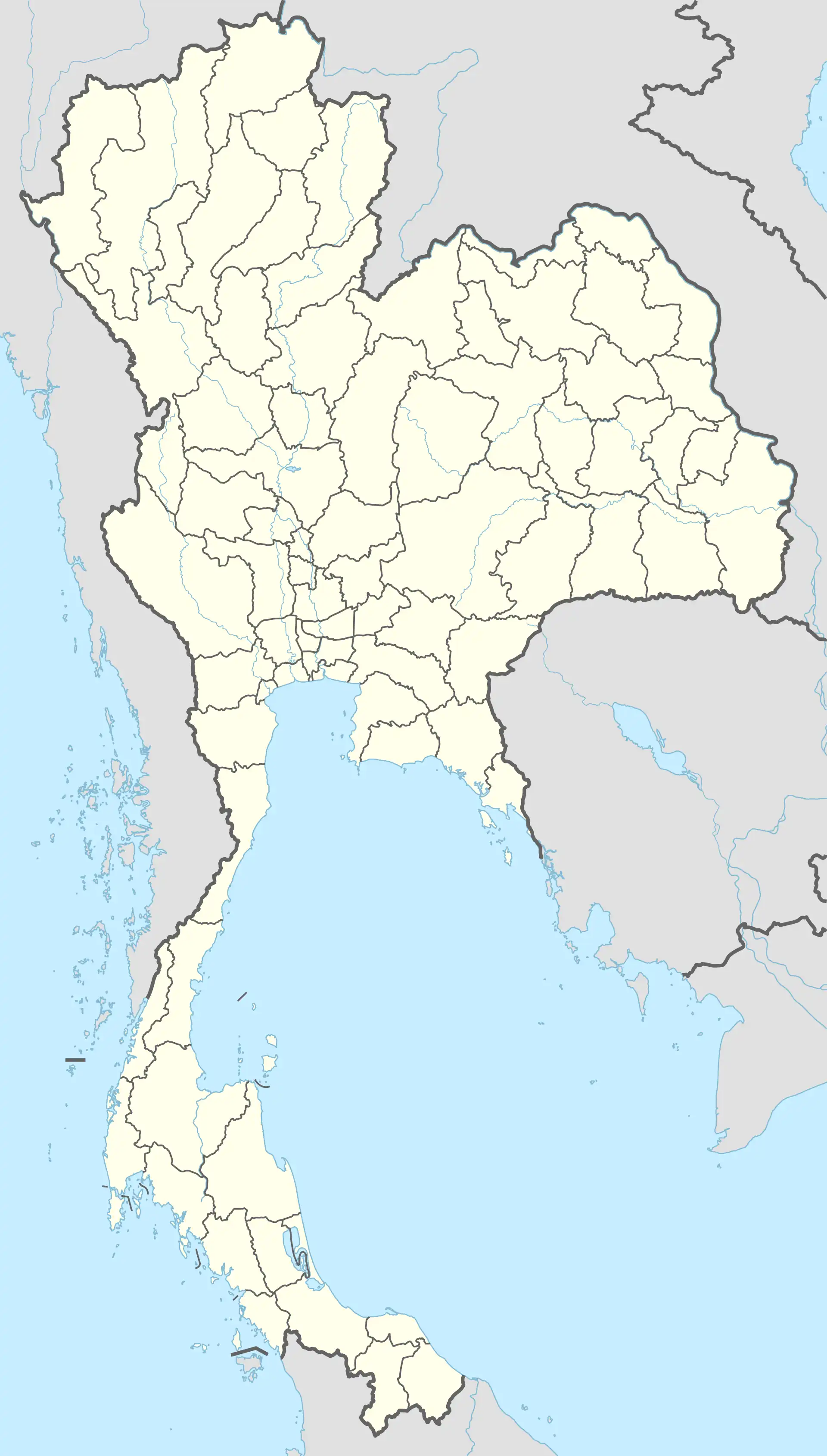
 Ban Dung Location in Thailand | |
| Coordinates: 17°41′55″N 103°15′40″E | |
| Country | |
| Province | Udon Thani |
| District | Ban Dung |
| Population (2017) | |
| • Total | 15,836 |
| Time zone | UTC+7 (ICT) |
| Postcode | 41190[1] |
| Area code | 042 |
Education
Numerous primary schools serve the area. High school education is provided by Bandubg Wittaya School.[3]
Transport
The town is adjacent to the intersection of Highway 2022 and Highway 2096. Local town transport is provided by Isan tuk-tuk style Samlor motor tricycle taxis. Regional and long distance bus services operate from the bus terminal.[4]
The nearest railway stations are in Nong Khai (83 km) and Udon Thani (81 km) and the nearest full-service airport is Udon Thani International Airport at 88 km.
References
- "Ban Dung, Udon Thani". Thailand Post Code. YouBianKu. Retrieved 19 June 2022.
- "Population statistics 2017" (in Thai). Department of Provincial Administration. Retrieved 2020-10-08.,
- "Bandung Wittaya School". Bandung Wittaya School. Retrieved 19 June 2022.
- "Ban Dung Bus Station". Mapio. vivamapio. Retrieved 19 June 2022.
This article is issued from Wikipedia. The text is licensed under Creative Commons - Attribution - Sharealike. Additional terms may apply for the media files.