Ballindrait
Ballindrait (Irish: Baile an Droichid, meaning 'town of the bridge')[2] is a townland, village and census town in County Donegal, Ireland. Located near Lifford, the village and townland of Ballindrait is in the civil parish of Clonleigh and the barony of Raphoe North.[2][3] The Burn Dale flows through the centre of Ballindrait.[4]
Ballindrait
Baile an Droichid | |
|---|---|
Village | |
.jpg.webp) Bridge and road junction in Ballindrait. A monument to the left of the bridge, which crosses the Burn Dale, commemorates The Earl of Tyrone's journey through Ballindrait during the 1607 Flight of the Earls. | |
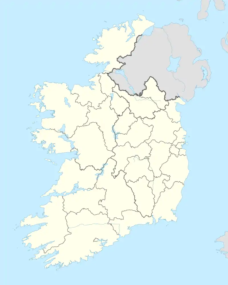 Ballindrait Location in Ireland | |
| Coordinates: 54.8445°N 7.5263°W | |
| Country | Ireland |
| Province | Ulster |
| County | County Donegal |
| Barony | Raphoe North |
| Population (2016)[1] | 170 |
| Irish Grid Reference | H304997 |
Ballindrait (Baile an Droichid) was designated as a census town by the Central Statistics Office (CSO) for the first time in the 2016 census,[5] at which time it had a population of 170 people.[6][1]
The former Ballindrait railway station served the area from 1909 until 1960, and was on the Strabane and Letterkenny Railway line.[7] The R264 regional road passes through Ballindrait village,[8] where it crosses the Burn Dale on Ballindrait Bridge (originally built c. 1740).[4][9]
The Presbyterian church (within the village) was built c. 1810.[10] St. Patrick's Church, usually known locally as Murlog Chapel, the local Catholic church (located outside the village in Murlough townland), was built in the 1960s to replace an earlier mid-19th century church.[11][12] Also in Murlough townland is Ballindrait Windmill (built c. 1874).[13]
References
- "Sapmap Area - Settlements - Ballindrait". Census 2016. Central Statistics Office. April 2016. Retrieved 12 September 2021.
- "Baile an Droichid / Ballindrait". logainm.ie. Placenames Database of Ireland. Retrieved 12 September 2021.
- "Ballindrait Townland, Co. Donegal". townlands.ie. Retrieved 12 September 2021.
- Sheet 6 (Map) (4th ed.). Discovery Series. Dublin: Ordnance Survey of Ireland. 2012.
- "Census of Population 2016 - Profile 2 Population Distribution and Movement". cso.ie. Central Statistics Office. Retrieved 26 June 2021.
26 new census towns were created for the 2016 Census [..including..] Baile an Droichid
- "Baile an Droichid (Ireland) Census Town". citypopulation.de. Retrieved 22 August 2021.
Baile an Droichid (Ballindrait) [..] 170 Population [2016] – Census
- "Ballindrait station" (PDF). Railscot - Irish Railways. Retrieved 12 September 2021.
- "Temporary closure of R264-4, Ballindrait, County Donegal" (PDF). donegalcoco.ie. Donegal County Council. September 2015. Retrieved 12 September 2021.
- "Ballindrait Bridge, Ballindrait, Ballindrait, Donegal". buildingsofireland.ie. National Inventory of Architectural Heritage. Retrieved 12 September 2021.
- "Ballindrait Presbyterian Church, Ballindrait, Ballindrait, Donegal". buildingsofireland.ie. National Inventory of Architectural Heritage. Retrieved 12 September 2021.
- "St. Patrick's Catholic Church, Murlog, Lofford Common, Ballindrait, Donegal". buildingsofireland.ie. National Inventory of Architectural Heritage. Retrieved 12 September 2021.
- "St. Patrick's Catholic Church, Murlog, Murlough (Clonleigh South), Ballindrait, Donegal". buildingsofireland.ie. National Inventory of Architectural Heritage. Retrieved 12 September 2021.
- "Ballindrait Windmill, Murlough (Clonleigh South), Ballindrait, Donegal". buildingsofireland.ie. National Inventory of Architectural Heritage. Retrieved 12 September 2021.