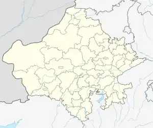
Badgaon tehsil
Badgaon is a tehsil in Udaipur district of Rajasthan, India.
Badgaon tehsil | |
|---|---|
Tehsil | |
 Badgaon tehsil Location of Badgaon tehsil  Badgaon tehsil Badgaon tehsil (India) | |
| Coordinates: 24.686893°N 73.646294°E | |
| Country | India |
| State | Udaipur |
| Population | |
| • Total | 157,963[1] |
| Time zone | Indian Standard Time |
History
Before the formation of the Republic of India, the territory of present-day Badgaon tehsil was part of the former Udaipur State.[2] With the formation of the United State of Rajasthan (precursor to the state of Rajasthan) in 1948, the new district of Udaipur was constituted which included the territory of present-day Badgaon tehsil.[2]
Badgaon tehsil was established on 31 May 2012,[3] its area being carved out of Girwa tehsil.[4]
Geography
The tehsil consists of 111 revenue villages which are organized in 25 gram panchayats.[1] The boundaries of Badgaon tehsil are conterminous with that of the eponymous Badgaon panchayat samiti.
37 villages of Badgaon that are in the vicinity of the city of the Udaipur urban area are subject to the jurisdiction urban planning policies of the Udaipur Urban Improvement Trust.[5][6]
The annual average rainfall in Badgaon tehsil is 608 mm, with an average of 32 rainy days per year.[7][8]
References
- Gram panchayat/ward-war jansankhya evam parivaro ki sankhya ka vivran. Government of Rajasthan. 2013. p. 76. Retrieved 19 April 2019.
- District Census Handbook Udaipur, Village and Town Wise Primary Census Abstract (PDF). Directorate of Census Operations. 2011.
- Notification F.33(81)(4)(1) Various/CTAD/2018/19494-502 (PDF). Government of Rajasthan. 5 June 2018. Retrieved 20 April 2019.
- "Badgaon bani tehsil". Udaipur News. 18 June 2012. Retrieved 18 April 2019.
- Udaipur ke adhighoshit nagriya kshetra mein sthit gram panchayat evam panchayat samiti ki suchi yathavidyaman mah agast 2016 (PDF). City Development Office Udaipur. 2016. Retrieved 19 April 2019.
- Udaipur Urban Area Map 2031. Government of Rajasthan. 2013. Retrieved 19 April 2019.
- Singh, O.P.; et al. (2013). Rainfall Profile of Udaipur (PDF). Meteorological Monograph: Hydrology No.15/2013. New Delhi: India Meteorological Department. p. 108.
- The 'Rainfall Profile of Udaipur' (2013) report referenced presents the information for Girwa tehsil prior to Badgaon tehsil being carved out of the former. Therefore, the average rainfall and rainy days stated here are those for Girwa tehsil from the said report.