Alto Parnaíba
Alto Parnaíba is a Brazilian municipality in the southernmost tip of the state of Maranhão. In 2020, the city's population was 11,212.
Alto Parnaíba | |
|---|---|
municipality | |
 Cachoeira das Tabocas | |
 Flag | |
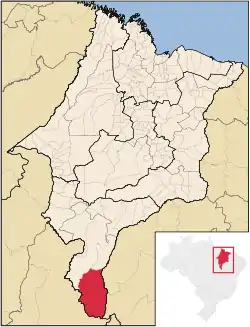 Location of Alto Parnaíba | |
| Coordinates: 09°06′39″S 45°55′48″W | |
| Country | Brazil |
| Region | Northeast |
| State | Maranhão |
| Founded | May 19, 1866 |
| Government | |
| • Mayor | Ranieri Avelino Soares |
| Area | |
| • Total | 11,132.105 km2 (4,298.130 sq mi) |
| Population (2020 [1]) | |
| • Total | 11,212 |
| • Density | 0.9/km2 (2/sq mi) |
| Time zone | UTC−3 (BRT) |
| HDI (2000) | 0.636 – medium[2] |
The municipality contains part of the 724,324 hectares (1,789,840 acres) Nascentes do Rio Parnaíba National Park, created in 2002.[3]
References
- IBGE 2020
- "Archived copy". Archived from the original on 2009-10-03. Retrieved 2009-12-17.
{{cite web}}: CS1 maint: archived copy as title (link) - UNDP - Unidade de Conservação: Parque Nacional das Nascentes do Rio Parnaíba (in Portuguese), MMA: Ministério do Meio Ambiente, retrieved 2016-05-01
This article is issued from Wikipedia. The text is licensed under Creative Commons - Attribution - Sharealike. Additional terms may apply for the media files.