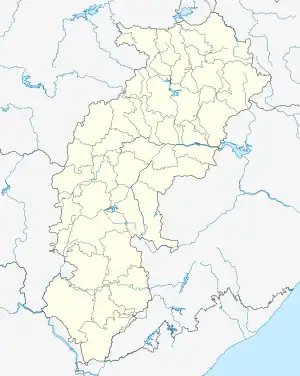
Alor, Chhattisgarh
Alor or Allur is a village in Chhattisgarh, India.
Alor
Allur | |
|---|---|
 Alor Location in Chhattisgarh, India | |
| Coordinates: 19.81°N 81.52°E | |
| Country | India |
| State | Chhattisgarh |
| District | Kondagaon |
| Elevation | 325 m (1,066 ft) |
| Languages | |
| • Official | Chhattisgarhi |
| Time zone | UTC+5:30 (IST) |
| PIN | 494228 |
| Telephone code | 07784 |
Geography
Alor is located at 19.81°N 81.52°E. The village was originally part of Raipur district as part of British central province.[1] When Bastar district is created, it became part of Farasgaon Tehsil of Bastar district in Chhattisgarh, India. It is situated 10 km away from Farasgaon and 92 km away from district headquarter Jagdalpur and 180 km away from state capital Raipur. When a new district Kondagaon was created, it became part of Kondagaon district.
References
- Sir Roper Lethbridge; Arthur Naylor Wollaston (1886). A Gazetteer of the Territories Under the Government of the Viceroy of India. W. H. Allen & Company. pp. 18–.
This article is issued from Wikipedia. The text is licensed under Creative Commons - Attribution - Sharealike. Additional terms may apply for the media files.