Alatyr (river)
The Alatyr (Russian: Ала́тырь) is a river in Mordovia in Russia, and is Sura's left tributary.[1] It is 296 kilometres (184 mi) long, and has a drainage basin of 11,200 square kilometres (4,300 sq mi).[2] The Alatyr freezes up in November and stays icebound until April. The towns of Ardatov and Alatyr (Erzya: Ратор, romanized: Rator), are located on the Alatyr River.[3]
| Alatyr | |
|---|---|
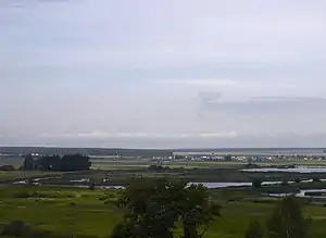
 Alatyr River, view from the railway bridge at Alatyr train station | |
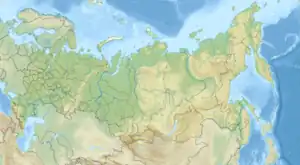
 Location of mouth | |
| Native name | Алатырь (Russian) |
| Location | |
| Country | Russia |
| Physical characteristics | |
| Source | |
| • coordinates | 54.792°N 45.114°E |
| Mouth | Sura |
• coordinates | 54.8694°N 46.5985°E |
| Length | 296 km (184 mi) |
| Basin size | 11,200 km2 (4,300 sq mi) |
| Basin features | |
| Progression | Sura→ Volga→ Caspian Sea |
| Tributaries | |
| • right | Insar |
References
- Алатырь (река), Great Soviet Encyclopedia
- «Река АЛАТЫРЬ», Russian State Water Registry
- Evtuhov, Catherine (November 2011). Portrait of a Russian Province: Economy, Society, and Civilization in Nineteenth-century Nizhnii Novgorod. University of Pittsburgh Pre. ISBN 9780822977452.
This article is issued from Wikipedia. The text is licensed under Creative Commons - Attribution - Sharealike. Additional terms may apply for the media files.