Aitana (mountain)
Aitana (Valencian: [ajˈtana], Spanish: [ajˈtana]) is a mountain massif that is part of Prebaetic System in the eastern end of the Iberian Peninsula. Administratively, the mountainous area is located in the Marina Baixa, Alcoià and Comtat comarcas in the northern part of Alicante province, Valencian Community, Spain. Its peak at 1,558 metres above sea level is the highest point of the province.[1]
| Aitana | |
|---|---|
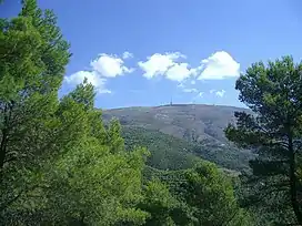
 Aitana peak and the antenna of EVA | |
| Highest point | |
| Peak | Aitana |
| Elevation | 1,558 m (5,112 ft) |
| Coordinates | 38°39′39″N 0°16′29″W |
| Dimensions | |
| Length | 8 km (5.0 mi) E/W |
| Width | 3 km (1.9 mi) N/S |
| Area | 20 km2 (7.7 sq mi) |
| Geography | |
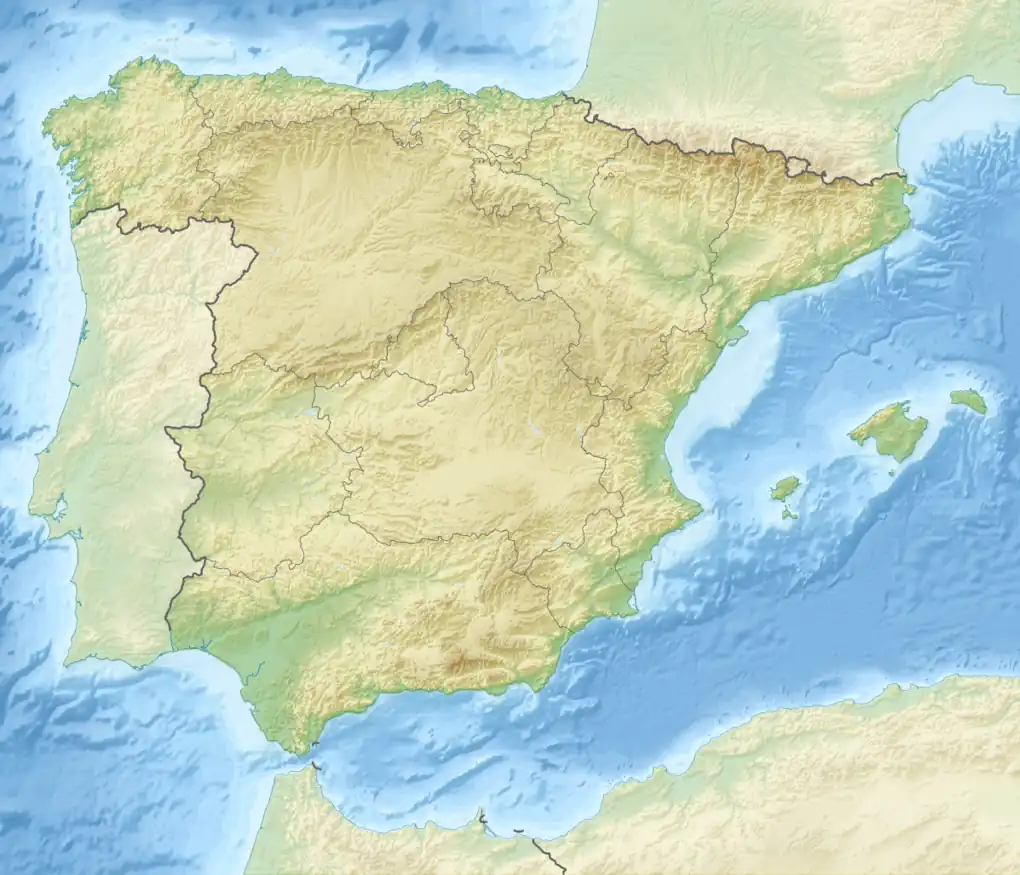
 Aitana Location in Spain | |
| Location | Marina Baixa, Alcoià and Comtat, Valencian Community |
| Parent range | Baetic System |
| Geology | |
| Type of rock | Limestone |
Geography
The Aitana mountain range is spread over an area of 2,000 hectares, about ten miles from the Mediterranean coast. Apart from Aitana, the highest peak that gives the name to the mountain system, other notable peaks are Penya Alta (1,506 m), Penya Catxa (1,467 m), El Mulero (1,308 m) and Alt del Carrascar (1,208 m).
The summit has also been the location of the finish line in the annual multi-stage bicycle race Vuelta a España a number of times. The Alto de Aitana is a 22.3 kilometer-long grinding ascension with an average gradient of 6% and can also be compared with Mount Ventoux, though Ventoux is steeper.[2]
Ascending to the top of Aitana.
There are some routes in order to climb the top. Visitors can go there almost year round except during irregular snowy periods during winter. One route is about 18 kilometers round-trip.
The route is divided into three «stages»:
Puerto Tudons - Font de l’Arbre. The font de l’Arbre can be reached by automobiles from Confrides. The route is 7 km on a narrow track.
Font de l’arbre - Font de la Forata. Can also be reached from Benifato.
The most spectacular part of the trail is the Font de Partagás - Pas de la rabossa - Summit of Aitana with a distance of 2 km. It starts at 1040 meters elevation, with almost 500 meters of uneven terrain. The path is well signposted with trail markings and distance signs.
The first section of just over 4 kilometers begins on the CV-770 with a long climb of 2.5 km. To the right are the walls of the Sierra de Aitana and to the left are pines and holly oaks, with panoramic views of the valley and the towns of Alcolecha and Ares del Bosque, as well as abandoned terraces.
A short descent leads to first stop: La Font de l’Arbre. The remains of snow reservoirs constructed of rock that were used for centuries to provide blocks of ice to the towns below.
La Font de l’Arbre is a recreational area with wooden tables, a barbecue grill and a source of fresh and crystal clear water. This is a good place to rest since its deciduous trees provide shade in summer and let the sunlight through in winter. A few farmhouses and the refuge hostel can be seen from here.
Font de l’arbre - Font de la Forata. 3 km
The next section goes from Font de l’Arbre to Font de la Forata. This is three kilometers of a continuous slight climb until just before reaching the Font de la Forata. The path runs between pine trees on one side and the walls of the mountains on the other. The forest track is good and well marked.
La font de la Forata is a flat area with grass and some pipes where a stream of water runs down. From here can be seen the summit of Aitana with a tall antenna at the very top. A little further to the left is the Pas de La Rabosa. The trail passes through that cleft in the mountain. From here one can also get to Benifato by walking the PR-CV 21 pass.
Font de la Forata - Pas de la rabossa - Summit of Aitana. 2 km
The road to Pas de La Rabosa continues along the so-called Passet de La Rabosa botanical trail. Here are wooden sign boards that describe this micro-reserve of flora. The native plants that have evolved to adapt to blizzards and other rigors of the cold winters in this part of the mountains are notable. The pass is very close and climbs a little through the loose rocks fallen down the mountainside, easily but carefully; the other side of Aitana can be accessed through a small corridor, Pas de la Rabosa, between the rocks. From here the views are spectacular.
Aitana Pas de la Rabosa. We cross the pass and follow the path along some gorges, known as the chasms of Partagás, that form a natural spectacle. These cracks, 15 or 20 meters wide, can be more than 100 meters deep. They have been carved by the action of rain and melting snow – the combination of water and CO2 in the atmosphere forms the carbonic acid that dissolves the limestone rock.
Appearances in Vuelta a España (since 2001)
| Year | Stage | Start of stage | Distance (km) | Category | Stage winner | Leader |
|---|---|---|---|---|---|---|
| 2016 | 20 | Benidorm | 184 | HC | ||
| 2009 | 8 | Alzira | 204.7 | HC | ||
| 2004 | 9 | Xàtiva | 170 | HC | ||
| 2001 | 15 | Valencia | 207.2 | HC | ||
See also
References
- "Aitana". summitpost.org. Retrieved 2015-02-08.
- "Course preview". 6 September 2009. Retrieved 17 January 2017.
External links
- Walking route to Aitana Archived 2017-10-01 at the Wayback Machine (in English)
- Aitana Mountain Archived 2010-04-01 at the Wayback Machine Asociación de Geógrafos Españoles (in Spanish)
- Colla Ecologista La Carrasca