Abastumani (Adigeni municipality)
Abastumani (Georgian: აბასთუმანი) is a village in the Adigeni Municipality, Samtskhe-Javakheti, Georgia. It is located on the southern slopes of the Meskheti Range on the left bank of the Otskhe river. It is at an elevation of 1,160 metres (3,810 ft).
Abastumani
აბასთუმანი | |
|---|---|
Village | |
 Abastumani Location of Abastumani 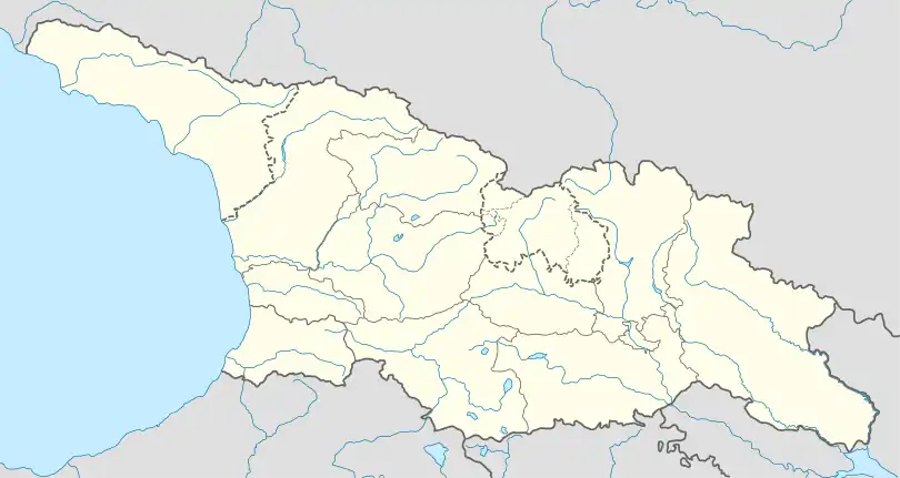 Abastumani Abastumani (Georgia) | |
| Coordinates: 41°42′20″N 42°50′35″E | |
| Country | |
| Region | Samtskhe-Javakheti |
| Municipality | Adigeni |
| Elevation | 1,160 m (3,810 ft) |
| Population (2014)[1] | |
| • Total | 256 |
| Time zone | UTC+4 (Georgian Time) |
References
- "Population Census 2014: Number of Population by Administrative-Territorial Units and sex". National Statistics Office of Georgia. Retrieved 15 August 2016.
- "საქართველოს მოსახლეობის 2002 წლის პირველი ეროვნული საყოველთაო აღწერის შედეგები, ტომი II [Results of the first national census of the population of Georgia in 2002, volume II]" (PDF) (in Georgian). National Statistics Office of Georgia. 2003. Archived from the original (PDF) on 28 March 2016. Retrieved 15 August 2016.
This article is issued from Wikipedia. The text is licensed under Creative Commons - Attribution - Sharealike. Additional terms may apply for the media files.