158th meridian west
The meridian 158° west of Greenwich is a line of longitude that extends from the North Pole across the Arctic Ocean, North America, the Pacific Ocean, the Southern Ocean, and Antarctica to the South Pole.
.svg.png.webp)
158°
158th meridian west
The 158th meridian west forms a great circle with the 22nd meridian east.
It is the western boundary of continuous Class E airspace between 14, 500 feet and 18, 000 feet MSL (Mean Sea Level) over Alaska.[1]
From Pole to Pole
Starting at the North Pole and heading south to the South Pole, the 158th meridian west passes through:
Co-ordinates Country, territory or sea Notes 90°0′N 158°0′W Arctic Ocean 70°50′N 158°0′W Chukchi Sea 71°12′N 158°0′W  United States
Alaska 58°38′N 158°0′W Bering Sea Bristol Bay 57°24′N 158°0′W United StatesAlaska — Alaska Peninsula 56°30′N 158°0′W Pacific Ocean Passing just west of Nakchamik Island, Alaska, United States (at 56°20′N 157°54′W)
Passing just east of Castle Cape, Alaska Peninsula, United States (at 56°14′N 158°7′W)
Passing just east of Chankliut Island, Alaska, United States (at 56°9′N 158°6′W)21°42′N 158°0′W United StatesHawaii — Oahu island 21°18′N 158°0′W Pacific Ocean Passing just west of Kiritimati island, 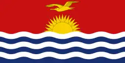 Kiribati (at 1°52′N 157°51′W)
8°56′S 158°0′W 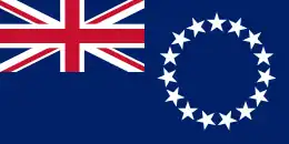 Cook Islands
Penrhyn Island 9°4′S 158°0′W Pacific Ocean Passing just east of Atiu island, Cook Islands (at 20°0′S 158°4′W)
Passing just west of Mangaia island, Cook Islands (at 21°55′S 157°58′W)60°0′S 158°0′W Southern Ocean 77°45′S 158°0′W Antarctica Ross Dependency, claimed by 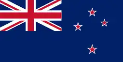 New Zealand
See also
References
- "Aeronautical Information Manual - AIM - Controlled Airspace". www.faa.gov. Retrieved 2020-11-13.

|
This article is issued from Wikipedia. The text is licensed under Creative Commons - Attribution - Sharealike. Additional terms may apply for the media files.